Top Hikes in Southern Oregon
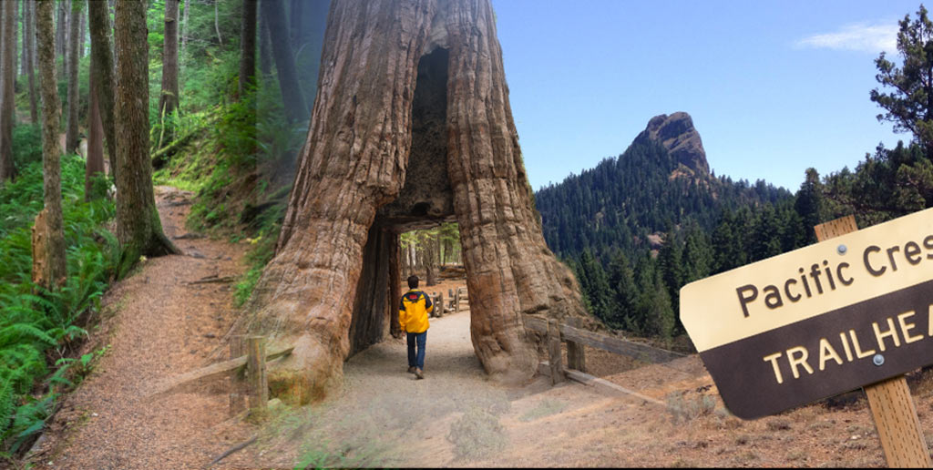
Southern Oregon is a great area for hikers and explorers alike. It is wild and beautiful. You do not have to travel far to find an enjoyable, and exerting, scenic hike; there is everything from the short yet gorgeous Britt Trails to Mount McLoughlin Southwest Oregon’s tallest Mountain. You can find hikes for someone at any skill level.
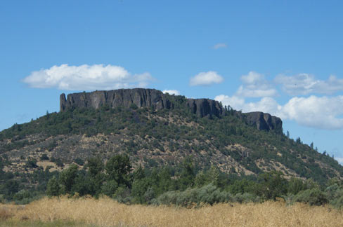
Lower and Upper Table Rock
Lower is a moderate Hike 5.4 miles round trip, this one is longer then the Upper Table Rock; 2.8 miles but not quite as steep if you have small children. Along both of the trails during the spring months you will see endangered wildflowers, unfortunately flower picking is banned as well as dogs.
Both Table Rocks give a great view of the valley.
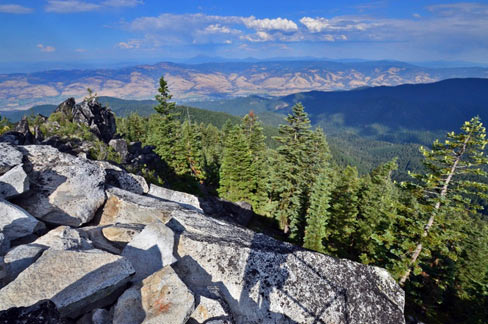
Mount McLoughlin
This is an 11 mile difficult hike, it is said to be hard but well worth the view you can see from Sister to Shasta, the best time of year to make this hike is from June to September.
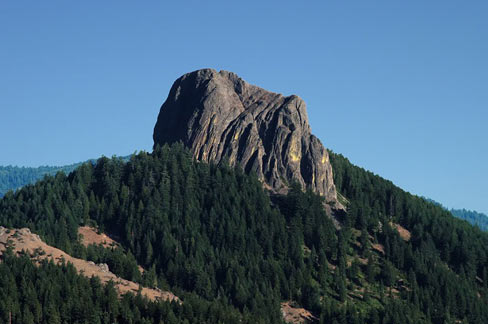
Pilot Rock
There are three different starting points for this hike one of the cutting through the PCT. Most prefer to start at the bottom of Pilot rock which is two miles round trip. Pilot Rock is more than just a hike, there is rock climbing or scrambling involved to reach the top, so please climb at your own risk.
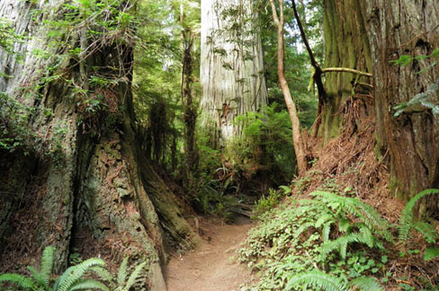
Boy Scout Tree Trail
This is a moderately easy 5.3 mile hike, along this hike you will see the worlds best redwood scenery. Walk among the some of the largest trees in the world you will pass rivers and creeks it’s definitely a must see.
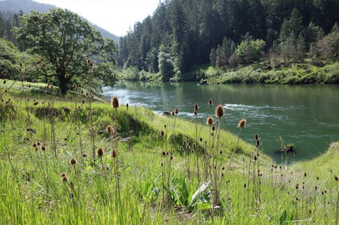
Rogue River Trail
This is a 40 mile trail stretching between Grave Creek and Big Bend, and offers some of Southern Oregon’s most incredible landscapes and hike experiences. This is considered a backpacking trip it takes an average 4-5 days. If you are wanting a shorter hike there are different trailheads all along the way.
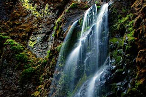
Fall Creek Falls
e shady trail to Fall Creek Falls’ double waterfall follows a cascading creek. The path is short 1.8 miles, it’s a nice warm up to ease hikers to other waterfalls nearby: Fern Falls and Susan Creek Falls.
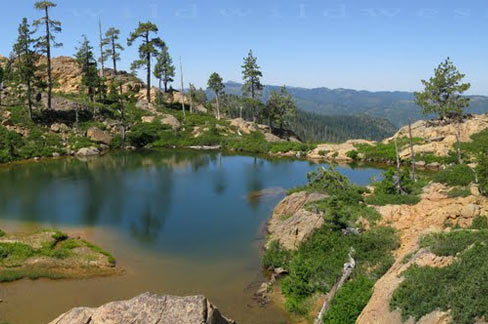
Towhead Lake Trail
This trail is a part of the PCT, it’s a about a four mile hike and can be done as a long day trip. Along the way you go through Echo Canyon and get a glimpse of Echo Lake. There is no “official” trail down to Towhead like but there is a faint trail that gets you down to it and you won’t be disappointed when you get there. The water may be on the cold side but the view is spectacular.
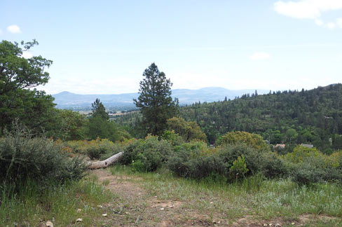
Britt Trails
These are 13 miles of hiking trails along the beautiful woodland trails in Historic Jacksonville. There are many sites to be seen along the various trails. You can find the perfect trail for any hiker no matter the skill level.
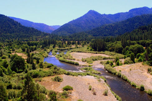
Mt. Ashland’s Pacific Crest Trail
An incredible 6.8 mile hike round trip hike, where you can see Mt. McLoughlin and Mt. Shasta in one sweep. During the spring enjoy an array of colorful flowers in the meadows.
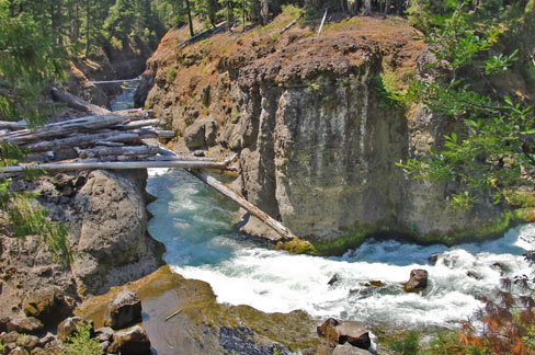
Takelma Gorge Trail
This 4.5 mile hike is good for all skill levels. You are not hiking to a great view you are hiking along a consistent spectacular view of the river has it flows through the canyon.
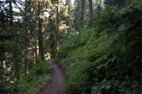
Grizzly Peak
This is a 5.5 mile loop moderate to high level; a local favorite! You will get a remarkable view of the Rogue Valley, as well as Diamond Peak, Mt. Mcloughlin, and Mt. Shasta. In early Summer there are wildflowers along the trail. Also keep watch for elk and deer.
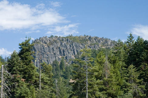
Hobart Bluff
This is a 3 mile hike round trip good for all skill levels. You can enjoy this hike in the summer with the gorgeous wildflowers, or do a snowshoe hike in the winter. This hike is a part of the PCT.
